Long-term weather forecast shows there's no end in sight for Britain's heatwave
and live on Freeview channel 276
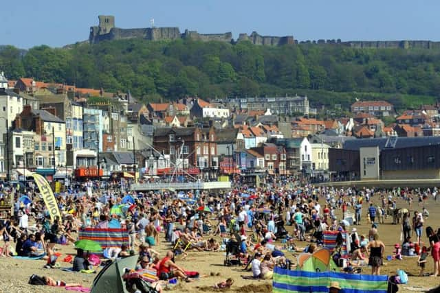
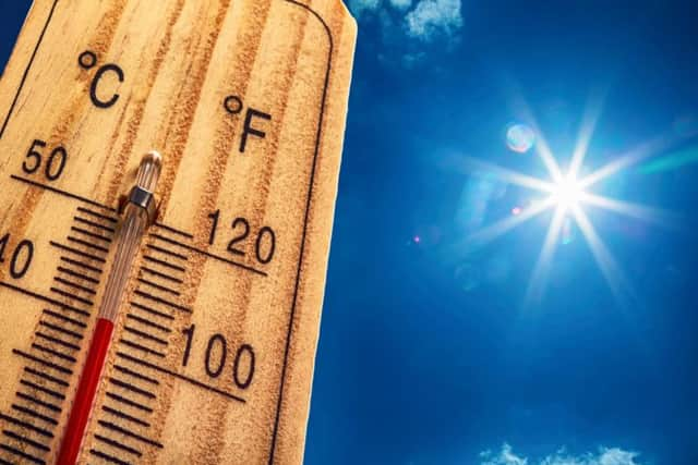
Britain’s heatwave has broken multiple records and has seen temperatures soar past 30C, with June being one of the driest month on record for decades.
However, it looks like long-term the warm weather is set to continue, making the rest of July a pleasant month for those who enjoy the warmer weather.
Advertisement
Hide AdAdvertisement
Hide AdAlthough the past couple of days have seen a dip in temperatures, with cooler temperatures of around 20C in Yorkshire, the temperature is set to rise again reaching temperatures of around 25C by this weekend.

The Met Office have said that following today, "temperatures will be warming day by day".
This comes after Monday was the 16th consecutive day of temperatures over 28C, making this the longest spell of such hot weather the UK has seen since 2013.
Last Sunday was England’s hottest day of the year so far when temperatures hit 32.4C in Gosport, Hampshire.
Advertisement
Hide AdAdvertisement
Hide AdThe UK Outlook for Monday July 16 to Wednesday July 25 shows that Monday should start dry with sunny spells in southeastern and central areas, but that these warm temperatures may spark off a few thundery showers.
It will be slightly cooler in the northwest, with the potential for rain or showers, which could then extend southeastwards to many parts into Tuesday.
However, brighter conditions will then follow and although fine weather with sunny spells is expected across all parts of the UK, temperatures will still be slightly cooler than the southeast, where it is expected to be very warm.
The outlook for Thursday July 26 to Thursday Aug 9 2018 shows that there is likely to still be a good deal of fine weather around during this period, especially in the southeast where further warm or hot spells are possible.
Advertisement
Hide AdAdvertisement
Hide AdHowever, there may also be some spells of more changeable weather with rain or showers arriving from the northwest at times, along with the risk of thunderstorms across some southern parts.
Temperatures overall are expected to be above average for many, but the northwest may then see temperatures returning closer to average in any unsettled spells of weather.
Tomorrow, Yorkshire will see a dry morning with early cloud soon burning away, leaving spells of warm sunshine and a maximum temperature of 25 °C.
Sunny spells and the potential for scattered showers are expected on Friday, with Saturday and Sunday expected to be mainly dry and very warm throughout, with a small chance of a shower on Saturday.